How to Read a METAR: A Line-by-Line Guide
To learn how to read a METAR, decode its groups in order: station, observation time, wind, visibility, weather, sky condition, temperature/dew point, altimeter and remarks. A METAR describes observed conditions at a reporting station; a TAF forecasts conditions for a future period. Keep UTC time, true wind direction and cloud heights above ground attached to their values (FAA AIM 7-1, NWS decoding key).

On this page
- What are the key facts before you start?
- How do you decode one complete METAR?
- What do the station, time and modifier tell you?
- How do wind, visibility and weather groups work?
- Which cloud layer is the ceiling?
- What do temperature, pressure and remarks add?
- Does a VFR-colored report mean a student flight is legal?
- Check yourself
- Frequently asked questions
- What weather topic should you study next?
- Sources and review notes
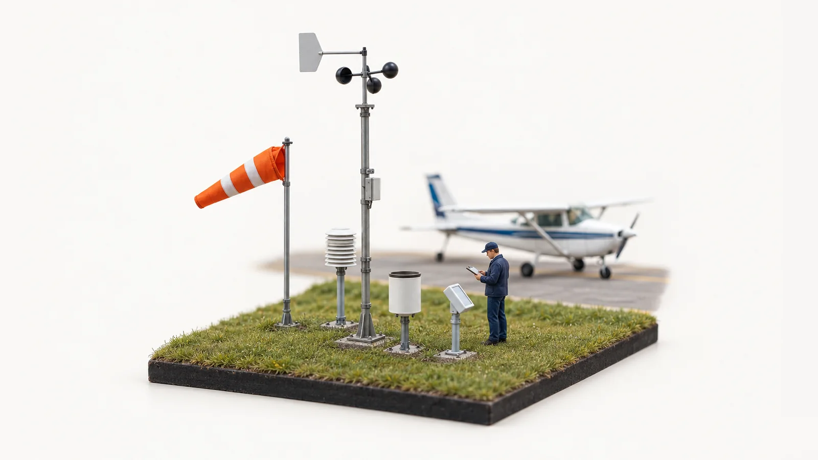
This Weather reports hub uses an original US-format practice observation. It is not current weather, and the miniature weather-station hero does not depict a particular airport or its installed equipment.
What are the key facts before you start?
Recognizing the units and references prevents more errors than memorizing a long list of abbreviations.
| Element | Read it as | Official source |
|---|---|---|
| Time ending in Z | Day of month and UTC hour/minute | AWC METAR help |
| Wind direction | Direction the wind comes from, relative to true north | FAA AIM 7-1 |
| KT and SM | Knots for wind; statute miles for US visibility | NWS key |
| Cloud height digits | Hundreds of feet AGL, not MSL | FAA AIM 7-1 |
| Ceiling | Lowest broken/overcast layer or vertical visibility into total obscuration | FAA AIM 7-1, 1.1 |
| Temperature and dew point | Degrees Celsius; M prefixes a negative value | NWS decoding example |
| A3012 | Altimeter setting of 30.12 inches of mercury | AWC METAR help |
AGL means above ground level. MSL means mean sea level. A cloud base of 2,500 feet AGL cannot be compared directly with an altimeter reading of 2,500 feet MSL without relating the altitude references.
How do you decode one complete METAR?
Break the report into groups, translate each group, then put the weather picture back together.
Original practice observation, not an actual airport report:
METAR KAAA 171853Z 21012G20KT 5SM -RA SCT015 BKN025 OVC050 18/16 A3012 RMK AO2
KAAA is a hypothetical station identifier in this exercise. The report does not encode a month or year; the surrounding report context supplies them. Do not turn its day-of-month field into a claim about today's weather.
| Group | Translation in this exercise |
|---|---|
| METAR KAAA | Routine observation for the hypothetical station |
| 171853Z | Day 17 at 1853 UTC |
| 21012G20KT | Wind from 210° true at 12 knots, gusting to 20 |
| 5SM -RA | Visibility 5 statute miles with light rain |
| SCT015 | Scattered clouds at 1,500 feet AGL |
| BKN025 OVC050 | Broken at 2,500 feet AGL; overcast at 5,000 |
| 18/16 A3012 | Temperature 18°C, dew point 16°C; altimeter 30.12 inHg |
| RMK AO2 | Remarks; automated station with a precipitation discriminator |
The useful spoken summary is: “Observation on the 17th at 1853 UTC, wind southwest at 12 gusting 20, five miles in light rain, scattered at fifteen hundred, ceiling twenty-five hundred broken, overcast five thousand, temperature eighteen, dew point sixteen, altimeter thirty twelve.” The ceiling comes from BKN025; the lower scattered layer is still operationally relevant.

Original hypothetical report. Each token is decoded in the adjacent table; it is not live weather.
What do the station, time and modifier tell you?
They identify where and when the observation applies and whether automation or a correction is involved.
Use the four-character station identifier rather than assuming every familiar three-letter airport code can be read unchanged. Continental US stations commonly start with K, while Alaska and Hawaii use different prefixes. Confirm the actual station instead of constructing one for a real briefing.
The first two digits of 171853Z are the day, followed by 18 hours and 53 minutes UTC. Z is not local time. For this October Chicago study example, 1853 UTC would be 1:53 PM CDT, but the UTC date must remain attached when an interval crosses midnight. Use the correct local offset for the date if you convert it.
AUTO identifies a fully automated report. COR identifies a correction. SPECI is a special observation issued when specified changes occur between routine reports. Compare the newest applicable report with previous observations; a later timestamp can change the weather picture you initially studied (AWC).
How do wind, visibility and weather groups work?
Read direction, speed and gusts separately, then decode visibility and the weather causing any restriction.
In 21012G20KT, 210 is a direction from true north, 12 is the wind speed and 20 is the gust speed. The gust is not an extra 20 knots added to 12. 00000KT means calm; VRB03KT means variable direction at 3 knots. Keep the direction reference straight when comparing a coded wind with a magnetic runway heading.
US visibility uses statute miles. 1 1/2SM is one and a half miles; M1/4SM means less than a quarter mile. An RVR group describes runway visual range and uses a different format; it is not a second prevailing-visibility value to substitute automatically.
For weather, -RA is light rain, RA is moderate rain and +RA is heavy rain. BR means mist, FG means fog, SH indicates showers and TS indicates thunderstorm. A light-precipitation sign in a thunderstorm group does not rate the thunderstorm itself as harmless. Decode combinations in context rather than treating the first two letters as the whole message (NWS key).
Which cloud layer is the ceiling?
Use the lowest broken or overcast layer, or vertical visibility into total obscuration; few and scattered layers are not ceilings.
In SCT015 BKN025 OVC050, the ceiling is 2,500 feet AGL. The 1,500-foot scattered layer matters for cloud avoidance, but it does not become the ceiling merely because it is lower. VV003 indicates an indefinite ceiling with vertical visibility of 300 feet, not a report of a distinct cloud base.

Simplified vertical example with compressed scale. Cloud heights are AGL; it is not a route profile.
| Sky code | Sky coverage | Ceiling by that layer alone? |
|---|---|---|
| FEW | 1–2 eighths | No |
| SCT | 3–4 eighths | No |
| BKN | 5–7 eighths | Yes, if the lowest qualifying layer |
| OVC | 8 eighths | Yes, if the lowest qualifying layer |
The NWS decoding guide explains these amounts. Automated CLR indicates no detected layers at or below 12,000 feet in the standard coding described by the FAA; it is not proof that the sky is cloudless at every altitude. Read missing-data and sensor remarks as well.
What do temperature, pressure and remarks add?
They complete the observation and can qualify a quick reading of its main body.
18/16 gives temperature and dew point in Celsius. M02/M04 means minus 2°C and minus 4°C. A small spread can be relevant when examining moisture and trends, but it does not predict the time fog will form by itself. Look at the full briefing and forecast.
A3012 gives the altimeter setting in inches of mercury, with the decimal omitted from the code. It is not field elevation or a direct density-altitude value. Remarks after RMK can add variability, precipitation timing, sensor status and other significant details. AO2 specifies a precipitation discriminator; it does not mean two human observers checked the report.
Does a VFR-colored report mean a student flight is legal?
No: a weather category summarizes ceiling and visibility, while legal and practical limits depend on the operation.
The AIM's flight categories classify this exercise as MVFR: a 2,500-foot ceiling and five-mile visibility are in the marginal range. That category does not supply cloud clearance, airport-surface conditions, student privileges, instructor limits or a safe personal margin. Check the complete VFR minimums table and the Class E/G guide.
A METAR also cannot describe every mile of a cross-country route or guarantee conditions after its observation time. 91.103 requires preflight familiarity with available information, including weather reports and forecasts for IFR or flights away from an airport's vicinity. Use observations alongside forecasts, advisories, radar and other relevant briefing products.
Check yourself
These are original study questions, not released FAA test items.
1. What is the ceiling in FEW008 SCT015 BKN030 OVC060?
Show the answer
3,000 feet AGL. BKN030 is the lowest qualifying broken or overcast layer. The lower few and scattered layers are not ceilings, although they still matter for flight conditions.
2. Does 24010G18KT mean wind from 240° at 28 knots?
Show the answer
No. It means from 240° true at 10 knots, gusting to 18. The gust is a speed, not an amount to add.
3. Does 180015Z mean 1800 UTC on day 15?
Show the answer
No. The first two digits give day 18; the last four give 0015 UTC. Preserve both the date and time when comparing reports.
Frequently asked questions
Is a METAR a forecast?
No. It reports observed conditions. A TAF forecasts a defined future period at a terminal.
Are METAR cloud heights MSL?
No. The coded cloud heights are in hundreds of feet AGL. Relate them to airport elevation before comparing with MSL altitudes.
Does SCT020 mean a 2,000-foot ceiling?
No. It means scattered clouds at 2,000 feet AGL. Look for the lowest broken, overcast or qualifying obscuration group for the ceiling.
Can I ignore remarks after I decode the main body?
No. Remarks can qualify conditions and expose sensor limitations or variability that matters to the operation.
What weather topic should you study next?
Move from observations to forecasts with the planned TAF guide below. For live companion guides, review VFR weather minimums and Class E versus G. Keep decoding a report separate from deciding whether a flight meets its rules and margins.
Practise aviation weather with FirstSolo.ai. It is solely a study tool and does not issue endorsements now or in the future.
Sources and review notes
- FAA AIM 7-1: coded observations, clouds, ceiling and weather categories.
- AWC product help, NWS METAR decoding example and NWS METAR/TAF card: code groups and units.
- 14 CFR 1.1: ceiling definition; 91.103: preflight action.
Facts checked October 18, 2026. Examples are original and hypothetical. Human technical review remains pending before publication.
FirstSolo.ai is independent and is not affiliated with or endorsed by the FAA.
About the author
Ellie Navarro, Student PilotEllie is a student pilot working toward her private pilot certificate in a Cessna 172 near Austin, Texas. She writes up each part of the FAA written the way it finally made sense to her, with the FAA source for every rule.
Last reviewed Oct 16, 2026All guides by EllieKeep going

Preflight Weather Briefing Checklist
Build a first VFR cross-country briefing around route and timing, compare hazards with limits, and keep student-solo review and update tasks clear.
Ellie Navarro · Oct 23, 2026 · 7 min read
How to Read Winds Aloft: Codes and Temperatures
Decode the FB winds and temperatures aloft table, keep true direction and altitude references straight, and work explained practice codes.
Sam Whitaker · Oct 23, 2026 · 7 min readA fresh question from the FAA references every time, graded by an AI DPE
Start with 50 free credits.
Start free