Temperature Inversion in Aviation: VFR Effects
A temperature inversion in aviation is a layer in which air temperature increases with height. It makes the layer stable and limits vertical mixing, so moisture or particles near the ground can reduce visibility. Strong wind changes can also occur across an inversion, so a clear sky or calm surface wind does not establish safe VFR conditions (FAA Aviation Weather Handbook, 5.8.3 and 19.2.3.1).

On this page
- What are the key facts about temperature inversions?
- Why does an inversion make the air stable?
- How do radiation, frontal and subsidence inversions form?
- How can you find the inversion in a temperature profile?
- Why can visibility be poor beneath a clear sky?
- Can calm surface wind hide a wind-shear problem?
- Will sunshine always remove an inversion before departure?
- What should you check before a VFR flight?
- Check yourself
- Frequently asked questions
- Sources and review
- What should you practice next?
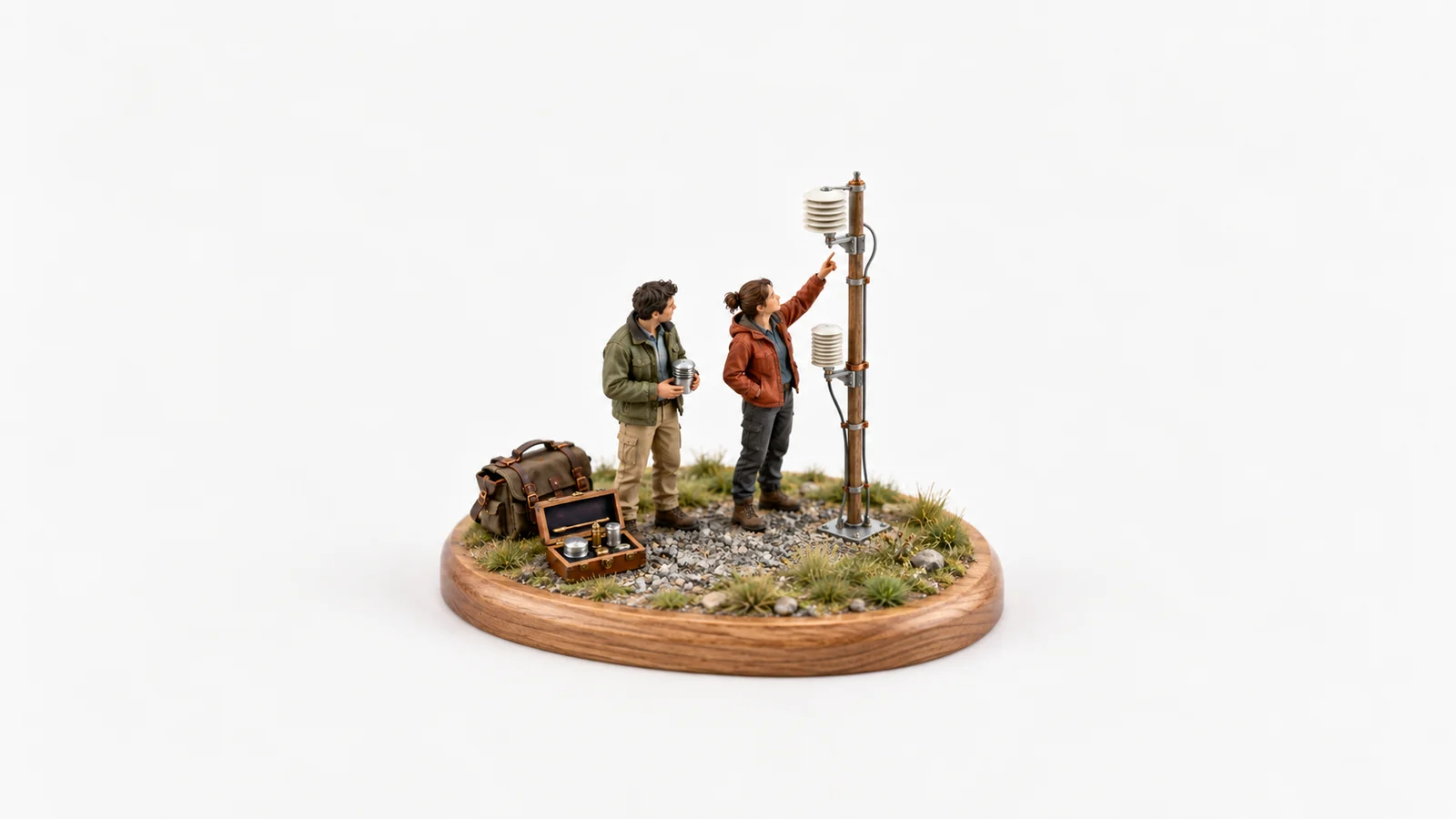
For private-pilot study, keep three things separate: the temperature profile, the moisture or particles affecting visibility, and the wind profile. An inversion describes the first; it does not supply the other two. The miniature cover illustrates comparing observations at different heights, without depicting an actual measured inversion or an official instrument installation.
What are the key facts about temperature inversions?
An inversion is identified by temperature increasing upward through a layer, not by whether the sky looks clear.
| Key fact | What it means | Official source |
|---|---|---|
| Temperature increases with height | The temperature trend reverses within that layer | Weather Handbook 5.8.3 |
| The base can be at the surface or aloft | Not every inversion begins at the ground | Weather Handbook 5.8.3 |
| An inversion is stable | A displaced parcel tends to resist continued vertical motion | Weather Handbook 13.2–13.3.1 |
| Fog needs sufficient moisture | An inversion can exist without fog | Weather Handbook 18.1.1–18.1.1.1.1 |
| Wind shear is a separate gradient | Strong changes in wind can occur across an inversion | Weather Handbook 19.2.3.1 |
The table gives mechanisms, not a visibility minimum, safe altitude or wind limit. Use the actual reports, forecasts and flight requirements for the planned operation.
Why does an inversion make the air stable?
An upward-displaced air parcel cools as it expands and becomes colder than its warmer surroundings, tending to settle back.
Stability describes resistance to vertical displacement. In an inversion, the surrounding air gets warmer as height increases, while a rising parcel cools. That contrast discourages free vertical motion and limits convective mixing. It does not put a solid lid in the sky or guarantee that every part of the surrounding atmosphere is smooth (Weather Handbook 13.2–13.3.1).
An isothermal layer is different: its temperature stays the same with height. Both isothermal and inversion profiles are stable, but only the upward increase is an inversion. Ordinary temperature decrease with height is another profile; its stability depends on the rate of decrease and the parcel's behavior. “Temperature decreases upward” does not automatically mean unstable (Weather Handbook 5.8.2–5.8.3 and 13.3).
How do radiation, frontal and subsidence inversions form?
They form through different combinations of surface cooling, horizontal movement of contrasting air and sinking air aloft.
| Formation mechanism | What changes the temperature profile? | A useful distinction |
|---|---|---|
| Radiation, often overnight | The ground loses heat and cools air touching it faster than the air above | Clear nights and light wind favor a surface-based inversion over land |
| Frontal overrunning | Warmer air moves above a colder air mass | The inversion can be elevated; it is not limited to a clear night |
| Subsidence | A descending layer compresses and warms, with its upper part warming more | The stable layer can develop aloft and is often associated with high pressure |
Sources: Weather Handbook 5.8.3 and 13.4.1–13.4.3; National Weather Service inversion glossary.
Overnight cooling is a common student-pilot example, not the entire definition. Cold air can also drain into valleys and collect near the bottom. If there is enough moisture, the cooling can support valley fog; without that moisture, the temperature inversion can still exist (Weather Handbook 18.1.1.1.1.1).
These categories explain causes. They do not assign a fixed thickness, a guaranteed clearing time or one wind direction to every inversion.
How can you find the inversion in a temperature profile?
Read upward through the profile and identify the layer in which the temperature rises.
Consider this original, idealized profile at one location: 8°C at the surface, 12°C at 500 feet AGL, 15°C at 1,000 feet AGL and 10°C at 2,000 feet AGL. For this exercise, assume straight temperature segments between the listed points. AGL means above ground level at that location.

Original hypothetical profile, with straight segments between its four points. The shaded layer is a surface-based inversion; the diagram is not a sounding, forecast or safe flight altitude.
From the surface to 1,000 feet AGL, the temperature increases by 7°C: 15 − 8 = 7. In this drawn profile, that is the inversion layer. Above it, the temperature falls to 10°C. The colder 2,000-foot point does not cancel the inversion underneath it; one column can contain different layers (Weather Handbook 5.8.1–5.8.3).
Real atmospheric soundings provide a vertical profile of observations or analyzed information. Do not treat a few separated readings as proof of every temperature between them. The straight-line assumption belongs to this exercise. A standard-atmosphere lapse rate is also a reference, not a promise that the real air follows it.
Why can visibility be poor beneath a clear sky?
Clear sky describes cloud cover; limited mixing can leave moisture or suspended particles concentrated in the lower air.
| What is present? | What can reduce visibility? | What the inversion alone cannot tell you |
|---|---|---|
| Air cools sufficiently toward saturation | Fog or mist can develop | Whether enough moisture is available, or exactly when fog will form |
| Fine suspended particles | Haze can obscure the view | The particle concentration and actual visibility |
| Smoke from a source | Smoke can remain concentrated when dispersion is limited | Whether a nearby or upwind source is affecting the route |
Sources: Weather Handbook 18.1.1–18.1.4. The mechanisms can overlap. Fog is made of condensed moisture; haze and smoke require particles, so they do not all clear by the same process.
A clear view of the sky overhead can coexist with a poor horizontal or slant view through a low layer. The FAA notes that haze visibility can change with viewing direction relative to the Sun. A good-looking patch above the airport is therefore insufficient evidence about the view needed along the route or toward terrain (Weather Handbook 18.1.3).
Review types of fog for the moisture mechanisms, and the ceiling and visibility guide to keep cloud cover separate from visibility. An inversion is a temperature layer, not a ceiling report.
Can calm surface wind hide a wind-shear problem?
Yes: light wind near the ground can coexist with stronger or differently directed wind above an inversion.
The temperature profile identifies stability; a wind profile identifies how wind speed and direction change with height. They are related parts of the weather picture, but neither substitutes for the other. The FAA describes strong shear across inversion layers as a possible turbulence source (Weather Handbook 19.2.3.1 and 19.2.4.1).

Three separate questions for a briefing. No measured wind speeds, visibility values, altitude boundaries or operational limits are implied.
The stable layer can suppress convective mixing while shear still produces turbulence near it. “Stable” and “no turbulence anywhere” are different claims. Likewise, an inversion does not guarantee severe shear: inspect the wind information rather than inferring its magnitude from temperature alone.
Use winds aloft, current advisories and relevant reports as part of the complete briefing. The wind shear, mountain-wave and turbulence guide explains why a vertical wind gradient is not the same thing as a downdraft.
Will sunshine always remove an inversion before departure?
No: daytime surface heating can weaken a radiation inversion, but clearing depends on the actual weather and the type of layer.
Surface heating tends to reduce low-level stability by changing the temperature profile. Clouds can limit that heating. An elevated inversion formed by subsidence or frontal overrunning is not simply an overnight surface-cooling layer with a predictable morning end time (Weather Handbook 13.4.1–13.4.3).
Fog can evaporate as conditions change, while haze and smoke need dispersion by air movement. The FAA specifically distinguishes their dissipation and notes that cloud cover can inhibit improvement. A forecast improvement deserves an updated observation; the clock reaching a particular hour does not verify it (Weather Handbook 18.1.1.1.1 and 18.1.4).
What should you check before a VFR flight?
Compare the temperature structure, visibility and winds with the route, timing, terrain and alternatives.
Under 14 CFR 91.103, the pilot in command must become familiar with all available information concerning the flight. For IFR flights or flights beyond the airport vicinity, the listed information includes weather reports and forecasts, fuel requirements and alternatives if the flight cannot be completed as planned.
Use the preflight weather briefing checklist to connect surface reports with forecasts and conditions above the surface. Ask whether fog, haze or smoke affects the usable view, whether the surface wind represents the flight's height range, and whether the expected improvement has occurred. Keep an option to delay or change the plan. The presence or absence of an inversion alone does not decide whether a flight is suitable.
Check yourself
1. In the idealized profile, temperature rises from 8°C at the surface to 15°C at 1,000 feet AGL, then falls above. Where is the inversion, and how much warmer is its top?
Show the answer
With the exercise's straight-segment assumption, the inversion extends from the surface to 1,000 feet AGL. Its top is 7°C warmer: 15 − 8 = 7. The decrease above that level does not erase the stable layer underneath. These are invented study values, not safe flight levels.
2. A clear night produces a surface inversion, but the air remains well short of saturation. Must fog form?
Show the answer
No. Cooling and stability alone do not guarantee enough moisture for fog. The inversion can exist without a visible cloud or fog layer. Check the moisture, temperature trend and actual visibility rather than turning a favorable condition into a certainty.
3. The airport wind is light, while the briefing indicates a strong wind change above an inversion. Does the stable layer rule out turbulence?
Show the answer
No. Stability limits free convective motion; strong wind shear can still produce turbulence. The temperature and wind profiles answer different questions. A light surface wind does not establish benign conditions above it.
Frequently asked questions
Does temperature always decrease as you climb?
No. An inversion warms upward, while an isothermal layer stays at the same temperature. A real profile can contain several kinds of layers, so a standard temperature trend is not an observation.
Are all inversions at the surface?
No. If the base is above the ground, it is an elevated inversion. Warm air overrunning colder air and subsidence can create layers aloft.
Does an inversion automatically mean fog or a ceiling?
No. Moisture is needed for fog, and an inversion is not itself a cloud-ceiling measurement. Read the reported visibility and cloud information separately.
Is an inversion a guarantee of smooth air?
No. Its stability limits convective mixing, but sufficiently strong wind shear can produce turbulence across the layer. Examine both temperature and wind information.
Sources and review
- FAA Aviation Weather Handbook, FAA-H-8083-28B, April 2026: 5.8.1–5.8.3, printed pages 5-11–5-12; 13.2–13.4.3, printed pages 13-2–13-9; 18.1.1–18.1.4, printed pages 18-2–18-9; 19.2.3.1–19.2.4.1, printed pages 19-5–19-8. The FAA handbook page identifies the current edition.
- National Weather Service inversion glossary: temperature, frontal, radiational and subsidence inversions.
- 14 CFR 91.103, Preflight action.
Last reviewed: October 29, 2026. The profile, diagrams and self-checks are original teaching material. Owner review, named-author approval and any technical review remain before publication; no personal flight experience is claimed.
What should you practice next?
Return to the aviation weather theory hub, compare fog formation, and connect the layer with wind shear and turbulence. Then practice aviation weather on FirstSolo.ai: identify the temperature trend, explain the stability and state what visibility and wind information is still missing. FirstSolo.ai is solely a study tool and does not issue FAA endorsements.
About the author
Ellie Navarro, Student PilotEllie is a student pilot working toward her private pilot certificate in a Cessna 172 near Austin, Texas. She writes up each part of the FAA written the way it finally made sense to her, with the FAA source for every rule.
Last reviewed Oct 29, 2026All guides by EllieKeep going
Start here · Weather theoryAviation Weather Theory: Fronts and Stability
Private Pilot Weather Questions: 12-Item Quiz
Test weather mechanisms and report interpretation with 12 original questions, three visual prompts and three expandable groups of FAA-linked explanations.
Sam Whitaker · Oct 30, 2026 · 9 min read
Wind Shear in Aviation: Waves and Turbulence
Separate wind shear from downdrafts, understand stable-air mountain waves and leeward rotors, and work three explained self-checks.
Sam Whitaker · Oct 28, 2026 · 9 min readA fresh question from the FAA references every time, graded by an AI DPE
Start with 50 free credits.
Start free