Types of Fog Aviation Students Should Know
The main types of fog aviation students study are radiation, advection, upslope, frontal and steam fog, named for how air cools or gains moisture. Freezing fog contains supercooled liquid droplets, while ice fog contains ice crystals. Identify the process, then check current visibility, cloud and icing information; a fog label alone cannot tell you when flying conditions will be suitable.

On this page
- What are the key facts about fog?
- How do the main types of fog form?
- Why does radiation fog favor clear nights and light wind?
- How is advection fog different from steam fog?
- What creates upslope and frontal fog?
- Is freezing fog the same as ice fog?
- Does a small temperature–dewpoint spread predict fog?
- What should you check before a flight affected by fog?
- Check yourself
- Frequently asked questions
- What should you study next?
- Sources and review notes
What are the key facts about fog?
Fog is a surface-based visibility obstruction, and its formation process matters more than memorizing a list of names.
| Key fact | What to remember | Official source |
|---|---|---|
| Fog definition | Based at the surface; horizontal visibility below 1 km, about 5/8 statute mile | FAA Weather Handbook, 18.1.1 |
| Two broad formation paths | Cool air toward its dewpoint, or add moisture toward saturation | FAA, 18.1.1 |
| Radiation fog | Ground loses heat, cooling nearby moist air | FAA, 18.1.1.1.1 |
| Advection fog | Moist air moves over a colder surface | FAA, 18.1.1.1.2 |
| Freezing fog | Liquid droplets at or below 0°C / 32°F can freeze on exposed surfaces | FAA, 18.1.1.1.6 |
| Ice fog | Suspended ice crystals, rather than liquid droplets | FAA, 18.1.1 |
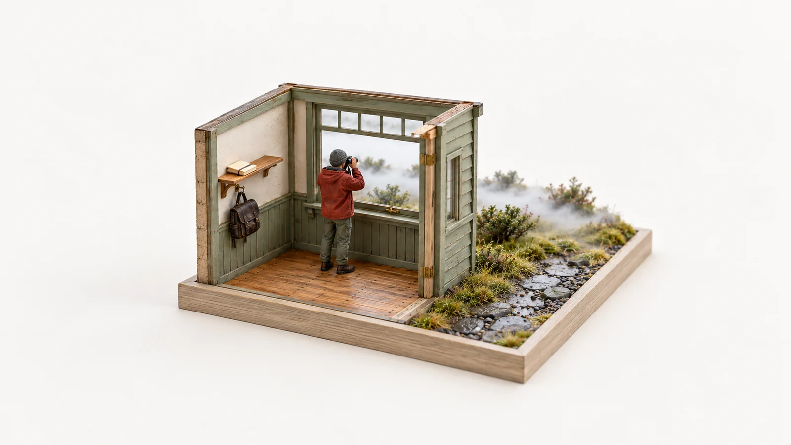
The visibility in the definition is not a VFR minimum or permission to fly. This guide explains mechanisms for US private-pilot study. The miniature hero illustrates observing fog; it is not a measured visibility scene or a forecast.
How do the main types of fog form?
Ask what changes the air: heat loss, movement over a colder surface, uphill cooling, or added water vapor.
| Fog type | Main mechanism | Useful clue, not a guarantee |
|---|---|---|
| Radiation | A cooling land surface cools moist air in contact with it | Clear night, light wind, moist low-level air |
| Advection | Moist air moves horizontally over a colder surface and cools | Onshore flow or moist air crossing colder land |
| Upslope | Moist air rises along terrain and cools by expansion | Wind directed uphill into sloping terrain |
| Frontal / precipitation-induced | Precipitation evaporates into cooler air near the surface, adding moisture | Rain falling into near-saturated colder air |
| Steam / evaporation | Relatively warm water adds vapor to much colder air; mixing produces saturation | Wisps above water during cold-air outbreaks |
Source: FAA Aviation Weather Handbook, 18.1.1.1.1–18.1.1.1.5. Real situations can involve more than one process, and appearance alone may not identify the cause.

An original mechanism map. The two groups organize the main processes; they are not a forecast decision tree or mutually exclusive weather categories.
For the underlying ideas of temperature, moisture, lifting and stability, start with the live aviation weather theory hub.
Why does radiation fog favor clear nights and light wind?
A clear sky lets the ground lose heat efficiently, and light wind allows cooling near the surface without excessive mixing.
The ground cools first, then cools the air touching it. If that air is moist enough to reach saturation, droplets form near the surface. The FAA lists clear skies, light surface winds and relatively moist low-level air among the favorable ingredients. Slight mixing can deepen the cooled layer; stronger mixing can change the fog or lift it into low cloud rather than produce a simple all-or-nothing result (FAA, 18.1.1.1.1).
Valley fog often adds cold-air drainage to that nighttime cooling. Denser, cooler air collects in low terrain, and sufficient moisture allows saturation. A clear ridge above a fog-filled valley does not describe the conditions on the valley floor or at an airport within it.
Solar heating often helps radiation fog dissipate after sunrise, but sunrise is not a dependable clearing deadline. Fog depth, cloud above the layer, surface conditions and mixing can change its persistence. Use actual trends and forecasts instead of planning around “it always burns off by this hour.” The NWS radiation-fog guide describes the surface cooling and sheltered-valley setting.
How is advection fog different from steam fog?
Advection fog cools moist air over a colder surface; steam fog adds moisture from relatively warm water into colder air.
That contrast is easier to remember when you keep the surface and the moving air separate:
- Advection: moist air crosses a colder surface and cools toward saturation. It can form over land or water and can move inland. It is not restricted to a clear, calm night.
- Steam: much colder air moves over relatively warm water. Evaporation supplies vapor, and mixing with the cold air leads to condensation that can look like wisps of steam. The visible wisps are droplets, not invisible water vapor.
The NWS advection-fog guide notes that this fog can form with cloudy skies and appreciable wind, unlike the familiar radiation-fog setup. The FAA also describes advection fog as often more extensive and persistent than radiation fog, able to move in day or night. Neither statement gives a clearance time for a particular airport.

Original conceptual comparison based on FAA Chapter 18. Horizontal arrows show air movement; upward arrows mark moisture transfer from water. Temperatures are relative, with no actual weather values or scale implied.
Steam fog can occur above lakes, streams or the ocean. It is associated with a shallow unstable layer, so calling every fog environment “smooth, stable air” is incorrect (FAA, 18.1.1.1.5).
What creates upslope and frontal fog?
Upslope fog involves cooling by ascent, while frontal fog commonly involves moisture added by precipitation evaporating into cooler air.
In upslope fog, moist, stable air is pushed uphill. Lower pressure at increasing height lets the air expand and cool. Saturation can produce cloud in contact with the rising terrain. This can occur under cloudy skies; a clear night is not required. The fog/cloud distinction also depends on the observer's terrain level, so evaluate mountain obscuration as well as an airport report.
In frontal fog, precipitation falls into cooler air that is already near its dewpoint. Evaporation can add enough moisture to saturate that air. This is often associated with warm fronts, but the FAA says other fronts can support it too. “It is raining” does not by itself prove frontal fog is forming; the receiving air and evaporation matter (FAA, 18.1.1.1.3–18.1.1.1.4).
Both mechanisms can support persistent restrictions. A theory answer should identify the process, then leave the operational assessment to current information about area, timing, visibility, clouds, terrain and hazards.
Is freezing fog the same as ice fog?
No: freezing fog contains supercooled liquid droplets that can freeze on contact, whereas ice fog contains ice crystals.
The distinction describes the particles' physical state. Liquid droplets can remain liquid at or below freezing. When they contact sufficiently cold exposed surfaces, they can freeze and accumulate ice. The NWS freezing-fog guidance specifically warns that ice can form on aircraft, including during ground exposure.
“Radiation” or “advection” explains a formation mechanism; “freezing” describes a hazardous temperature and droplet condition. Those descriptions are not competing choices in a single exclusive list: a fog formed by a cooling process can also be freezing fog. Ice fog is a different particle state, not simply a stronger version of freezing fog.

Schematic particle symbols, not microscope images. Formation-process names and particle-state descriptions answer different questions.
Do not infer aircraft suitability from the name, a presumed thin layer, or deicing equipment alone. Aircraft limitations, contamination checks and the actual icing situation require their own review. This article does not supply an icing authorization or a procedure for operating in fog.
Does a small temperature–dewpoint spread predict fog?
A small spread is a saturation clue, not a forecast of visibility, onset time or clearing time.
In an invented learning example, air temperature is 10°C and dewpoint 9°C, a spread of 1°C. Cooling the air to 9°C while holding dewpoint fixed brings the two values together in the simplified example. This arithmetic identifies a possible route toward saturation; it does not calculate fog depth, location or reported visibility.
Moisture addition can also raise the dewpoint toward the air temperature. Real temperature and dewpoint both change, and the relevant air layer may differ from the instrument location. Wind, surfaces, terrain and moisture depth matter. Do not treat one small spread as proof that fog must form, or a wider spread at one station as proof that the whole route is clear.
What should you check before a flight affected by fog?
Compare current reports and forecasts with the route, timing, pilot limitations, aircraft limitations and alternatives.
| Study question | Information to examine |
|---|---|
| Where is visibility restricted now? | Relevant observations, their times, and areas between reporting stations |
| What is expected when I arrive? | Forecast visibility, cloud trends and changing weather mechanisms |
| Is terrain obscured or icing possible? | Applicable hazard information and aircraft limitations |
| What changes the plan? | Alternatives, updates, instructor restrictions and decision points |
An original learning checklist, not a complete flight or aircraft procedure.
Use the live ceiling and visibility guide to keep visibility, ceiling and cloud clearance separate. The preflight weather briefing checklist organizes the flight-specific review, while the METAR guide explains airport observations.
14 CFR 91.103 requires the PIC to become familiar with all available information concerning the flight. Its paragraph (a) specifically includes weather reports and forecasts for IFR flights or flights away from an airport's vicinity. Recognizing a fog type does not replace that duty or establish that student-pilot and VFR requirements are satisfied.
Check yourself
These are original learning questions, not released FAA test questions.
1. Moist air moves over colder coastal water during the afternoon. Which fog mechanism fits?
Show the answer
Advection fog: horizontal movement brings moist air over a colder surface, cooling it toward saturation. Nighttime radiation is not required. The scenario identifies a mechanism, not the actual visibility or time when conditions will improve.
2. Very cold air moves over a relatively warm lake and wisps appear above the water. Is this the same mechanism?
Show the answer
No. Steam fog fits: evaporation adds moisture from warmer water and mixing with colder air produces condensation. Keep it distinct from advection fog's cooling over a colder surface. Steam fog can involve shallow instability rather than uniformly stable air.
3. Fog contains liquid droplets below freezing. Should you call those particles ice crystals?
Show the answer
No. Supercooled liquid droplets indicate freezing fog and can freeze on sufficiently cold surfaces. Ice fog is made of ice crystals. Temperature below freezing alone does not mean every suspended particle has already frozen.
Frequently asked questions
How many types of fog should a student pilot learn?
Learn the main mechanisms: radiation, advection, upslope, frontal and steam fog. Then separate freezing fog and ice fog by particle state and icing implications. Valley and shallow ground fog add useful location or depth descriptions. These names are not all mutually exclusive, so there is no single count that explains every fog situation.
Will sunlight always remove radiation fog quickly?
No. Heating often helps, but the depth of fog, cloud cover above it and other conditions affect dissipation. A general tendency is not a promised airport clearing time. Recheck observations and forecasts when timing matters.
Can fog occur with wind?
Yes. Advection and upslope processes involve moving air, and some mixing can deepen radiation fog. Different wind conditions can change fog into low cloud rather than create clear skies. “Wind means no fog” is an unreliable rule.
Does a fog-free airport report mean the whole route is fog-free?
No. A report describes its observation area and time. Valleys, colder surfaces and other route segments can have different conditions, and later arrival weather can change. Review the route and time window instead of extending one airport observation everywhere.
What should you study next?
Return to the weather theory hub to connect moisture and stability, then compare actual report structure in the METAR guide and flight planning in the preflight weather briefing checklist.
Practice explaining fog mechanisms with FirstSolo.ai, then discuss unresolved weather questions with your instructor. FirstSolo.ai is solely a study tool and does not issue endorsements now or in the future.
Sources and review notes
- FAA Aviation Weather Handbook, FAA-H-8083-28B, 18.1.1–18.1.1.1.6, printed pages 18-2–18-8: fog definition, mechanisms, valley fog, freezing fog and ice-crystal distinction. The FAA index lists this handbook with an April 2, 2026 publication date.
- NWS: Radiation fog, advection fog, freezing fog and How Fog Forms: supporting formation and hazard explanations.
- 14 CFR 91.103: preflight information duty.
Facts checked October 25, 2026. The diagrams, checklist and temperature example are original learning aids, not current weather. Human technical review remains pending.
FirstSolo.ai is independent and is not affiliated with or endorsed by the FAA.
About the author
Ellie Navarro, Student PilotEllie is a student pilot working toward her private pilot certificate in a Cessna 172 near Austin, Texas. She writes up each part of the FAA written the way it finally made sense to her, with the FAA source for every rule.
Last reviewed Oct 25, 2026All guides by EllieKeep going
Start here · Weather theoryAviation Weather Theory: Fronts and Stability
Private Pilot Weather Questions: 12-Item Quiz
Test weather mechanisms and report interpretation with 12 original questions, three visual prompts and three expandable groups of FAA-linked explanations.
Sam Whitaker · Oct 30, 2026 · 9 min read
Temperature Inversion in Aviation: VFR Effects
Read an original temperature profile, distinguish radiation, frontal and subsidence inversions, and separate stability from visibility and wind shear.
Ellie Navarro · Oct 29, 2026 · 8 min readA fresh question from the FAA references every time, graded by an AI DPE
Start with 50 free credits.
Start free